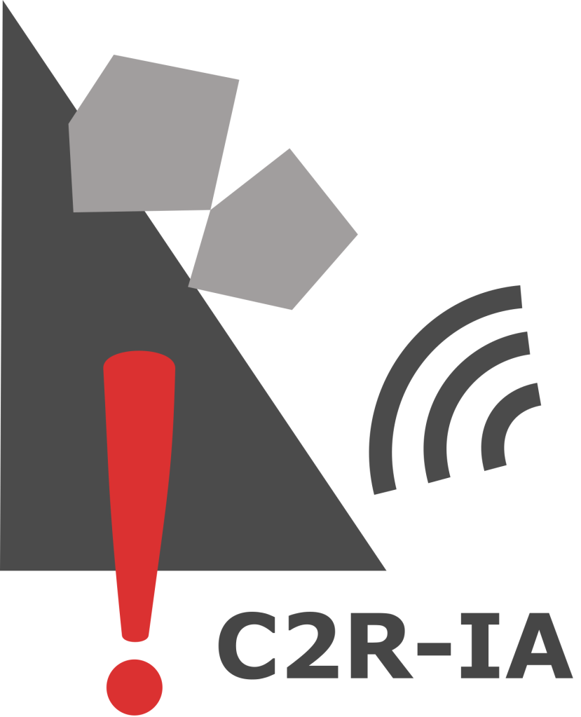
ANR C2R-IA
Chutes de blocs et Risque Rocheux : utilisation de l'Intelligence Artificielle pour la gestion opérationnelle du risque
-
Research project (funded by ANR) on the use of Artificial Intelligence for the operational management of rockfall risk.
Contact: Clara LEVY (BRGM)C2R-IA is a French acronym standing for “Rockfall risk: the use of Artificial Intelligence for the operational management of the risk”. It is a research project funded by the French Research Agency ANR for a duration of 48 months (starting year in 2023). It aims to better take into account the influence of weather conditions on the level of rockfall hazards and to anticipate temporary increases of hazard level during storms and other specific weather conditions in order to implement risk mitigation systems (restriction of access, monitoring, mobilization of emergency kits, predictive maintenance). C2R-IA, coordinated by the French geological survey BRGM, adopts a multidisciplinary approach by bringing together different communities: academic research institutes in geosciences (ISTerre) and Artificial Intelligence (LIRIS, LISTIC), applied research institutes in geosciences (BRGM, Cerema) and an engineering company specialised in natural hazards (Géolithe).
Context
Currently, the management of rockfall risk is mainly dealt with the construction of protective structures, which often represents a disproportionate cost compared to the financial resources of municipalities and private operators. Morever, it is often impossible to develop such solutions over an entire basin exposed to rockfall risk. A more sustainable and effective strategy for rockfall risk management would be to take into account the influence of weather conditions on hazard level, thus allowing infrastructure managers to anticipate an increase of hazard level in order to implement risk mitigation systems (restriction of access, monitoring, mobilization of emergency kits, predictive maintenance). Such dynamic risk management is potentially associated with high socio-economic costs. Thus, its implementation requires a well-justified decision-making procedure. The aim of this project is to overcome the necessity to construct decision-making procedure based on expertise by improving our understanding of the cliff behaviour under climate forcing in order to produce efficient predictive models.
Work program
The project is organized in 5 Work Packages (WP). WP0 is designed to ensure the project management. WP4 is designed to ensure the dissemination and valorisation of the results. WP1, WP2 and WP3 are designed to address the scientific issues of the project:
- Make the detection of rockfalls more reliable, in particular by taking advantage of technological progress to acquire dense and varied data, by using them with improved processing methods, as well as by combining different data sources (data fusion). For that purpose, the St Eynard cliff near Grenoble will be instrumented for a total period of 1.5 years with TLS, GBSAR, seismic monitoring and high resolution photographs–WP1;
- Develop effective predictive models, using recent innovations in AI to provide results and prediction justifications that can be interpreted by the expert (eXplainable IA) making it possible to translate the results into operational risk management rules and decisions. The AI models will be trained with the data acquired at the St Eynard cliff –WP2;
- Transfer predictive models from a site to a new site at a lower cost by applying innovative AI transfer learning methods to these predictive models, as well as by testing the relevance of data from low-cost devices for the training of these models. A prototype of low-cost instrumentation for high-resolution photos will be developed as part of the project and deployed at a new site–WP3.

Figure : Structure of the project C2R-IA
The St Eynard cliff located northeast of Grenoble (French Alps) is chosen as study site in order to achieve the acquisition of new dense data thanks to several remote sensing methods: Ground Based Synthetic Aperture Radar (GBSAR), Laser Imaging Detection and Ranging (Lidar), seismic monitoring, High-Resolution images (HR images).
The St Eynard cliff was chosen as study site since it shows a frequent rockfall activity with strong sensitivity to climatic conditions.

Figure: New acquisitions at the Saint-Eynard cliff
Supporters
Official end users supporting the project are the departmental councils of Isère and Savoie, and SNCF.
The project is also supported by organizations with large networks including infrastructure managers such as INDURA.
The consortium has strong links with the rockfall risk community grouped in the National Project C2ROP administrated by IREX . The progress of ANR C2R-IA will be coordinated and shared with the national project C2ROP2.
Funding info
Grant number: ANR-22-CE56-0005

